Religion in Nicaragua

Inflation fell from 7,000% in 1990 to 3.8% in 1992 following the implementation of an economic policy formulated by the IMF and the World Bank. Productive investment and spending on…
WIND EROSION DUE TO VEGETATION DESTRUCTION
The Oklahoma Panhandle forms the core area of a room that is severely affected by wind erosion. The former Indian territory was opened for settlement in 1897. The geometric, often chessboard-like division of many agricultural areas in the USA – to which traffic routes, settlements and land use plots are also subordinate – is a relic from this phase of planned land acquisition.
Because the natural vegetation was largely destroyed at the beginning of the 20th century, the process of soil runoff increased after the transition to cereal cultivation (especially wheat monocultures). Heavy rain, in particular, very quickly causes large-scale, linear cuts on sloping surfaces with destroyed vegetation.
Large areas of the short grass prairie were plowed up, especially in the late 1920s and early 1930s. The wheat farmers who moved there did not know that they were seriously and sustainably disrupting the ecological balance of the region in this way. Because of the low rainfall and the regularly occurring dry periods, the region was hit several times by major droughts, which led to catastrophic soil losses due to wind erosion in the very flat, almost tree-free landscape. Because of the notorious dust storms, the name “Dust Bowl” became common for the area. In addition, there was gully erosion, in which the draining water from heavy precipitation led to a deep fragmentation of the plateau areas and the formation of so-called badlands.
COUNTERMEASURES
To combat soil degradation, various measures were introduced that were coordinated by the Soil Conservation Service, a US federal agency. The gully erosion could largely be stopped by a targeted planting of the erosion channels and their edges. In some cases, dams are being built in the existing erosion channels, which hold back the water and thus slow down its erosion power after heavy rainfall. Plowing parallel to the contour lines, known as contour plowing, also reduces soil flushing after rainfall. Sloping terraces are also created for large slopes. The installation of windbreak hedges reduces the soil erosion by the wind.
The low rainfall in the Oklahoma Panhandle is also the reason for “dry farming”, a field cultivation method in which the rainfall from two to three rainy seasons is used to bring in a harvest. Another method of erosion protection, known as strip farming, cannot be seen on the map.
In recent times, large pig fattening facilities have been established in the Oklahoma Panhandle and the immediate neighboring areas in order to achieve higher added value than would be possible only with crop production. This is intended to improve the region’s economic base and reduce dependence on crop production. For more information about the continent of North America, please check zipcodesexplorer.com.
Inflation fell from 7,000% in 1990 to 3.8% in 1992 following the implementation of an economic policy formulated by the IMF and the World Bank. Productive investment and spending on…
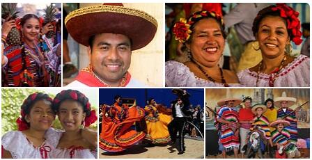
The Mexican Revolution The revolution began as a progressive bourgeois protest against the dictatorship. In the years after 1900, the authorities were unable to solve the problems created by the…
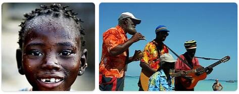
Population Like many other Caribbean states, Jamaica has a high average population density, 264 residents per km2 (2019) and relatively high urbanization, 56 percent. As a result of large emigration,…

While the military continued to carry out police duties in the cities, Parliament initiated discussions on a constitutional amendment to transfer public security control to civilian authorities. In January 1995,…
Population Haiti is densely populated, 400 residents per km2 (2019). The country has a large emigration to the Dominican Republic and the United States, which contributes to a relatively moderate…
1982 Mass terror The repression had cost 80,000 civilians since 1954 – mostly killed by the military. The bourgeoisie and the military now recognized that drastic means had to be…

The Caribbean inhabited the island of Grenada until 1498, when Columbus arrived and named it “Concepción”. The arrival of the Europeans did not immediately disturb the peace, but two centuries…

Population and ethnography Up until the 18th century, when Danish missionaries and traders gained influence, Greenland’s Inuit served as nomadic hunters; the main wild area was sea mammals and wild…

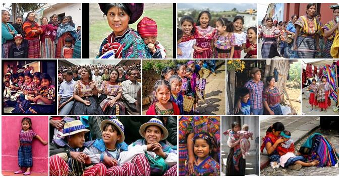
Population El Salvador had an average population density of 305 residents per km 2 in 2019. However, the majority of the population lives in the fertile areas between the mountain…

The first residents of the island of Quisqueya were the lucayos, ciguayos, taínoos and caribs. They built fishing and collecting societies and practiced simple farming. The indigenous peoples’ emigration between…

Population Dominica has an average population density of 95 residents per km2. As a result of a relatively large emigration, the country’s population growth is very low, some years even…

The island of Cuba – or Cubanacán (“the central place”) – was inhabited in the 16th century by a number of ethnic groups. Especially the agricultural people taíno, also called…

Population The majority of Costa Rica’s population lives in the central highlands, where the capital, San José, is located. 73 percent of Costa Rica’s population live in cities. Costa Rica…

Population According to thesciencetutor, Canada has an average population density of 4 residents per km2, but the population is very unevenly distributed. More than half live in a relatively small…

Attractions in Boston A good way to get to know Boston’s rich history and to see most of the city’s old monuments and buildings is to walk the so-called Freedom…
The Itzas were one of the peoples who made up the Mayan empire, which included the south of modern-day Mexico, Guatemala and Belice. They settled in Belize, and participated in…

Population Barbados has an average population density of 667 residents per km2, which is one of the highest in the world. About 31 percent of the population lives in cities.…

The Las Bahamas archipelago was one of the few areas in the Caribbean where the Arawaks were not displaced by the Caribbean. This American population group was probably the first…

Population According to thesciencetutor, Antigua and Barbuda had an average population density of 217 residents per km 2 in 2019, but 93 percent of the population lives on the island…
The American continent is regionalized in three parts, this facilitates the study of existing human relations, it is divided into South America, Central America and North America. As stated on…